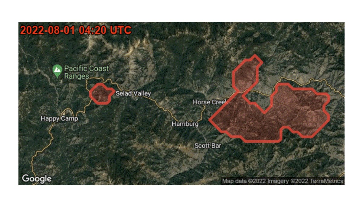
Learn how applying ML to satellite imagery enabled us to expand our wildfire tracker, which now provides more accurate real-time fire boundary updates every 10–15 minutes to help affected people in times of crisis. Read more → https://
goo.gle/3DI7Zvh
ML Satellite Imagery Enhances Wildfire Tracking Accuracy
By
–